King Charles III officially inaugurated a 2,689-mile continuous walking route encircling the entire coast of England on Thursday, completing an 18-year public works undertaking that has crossed seven prime ministers, required an act of Parliament, and resulted in the longest managed coastal walking trail in the world — a path now formally bearing the monarch’s name.
The inauguration ceremony took place at a reception hosted by the South Downs National Park Authority in East Sussex, where Natural England — the government body that created and will administer the trail — simultaneously announced the designation of the Seven Sisters chalk downland as a new National Nature Reserve.
The two events together marked the formal opening of a project that began with legislation under Prime Minister Gordon Brown’s government in 2009 and survived changes of administration, budget squeezes, land access disputes, and the physical challenges of stitching together more than a thousand miles of coastline that had never before been connected by a single legal walking route.
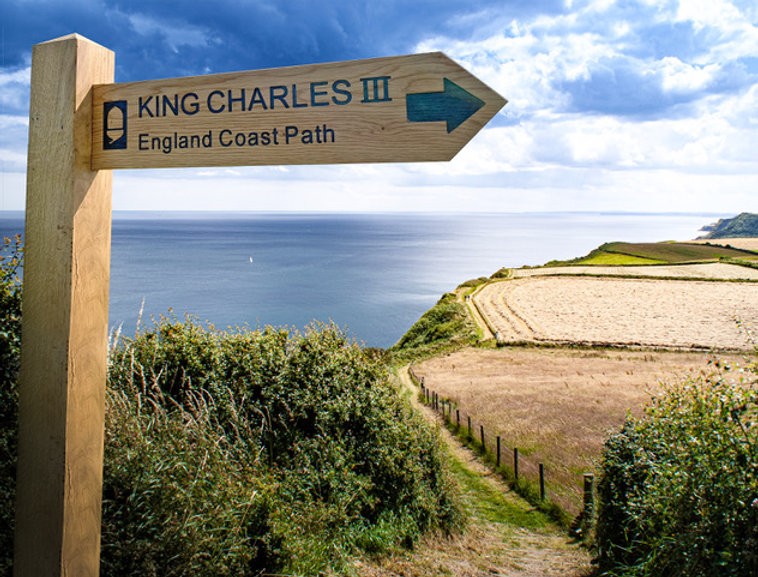
The path was originally developed under the title England Coast Path and later renamed the King Charles III England Coast Path to mark the King’s coronation and his longstanding public advocacy for the natural environment. It runs the full perimeter of England’s shoreline, from the Scottish border near Berwick-upon-Tweed in the north, down the North Sea coast, around the Kent headlands, along the English Channel, across Cornwall and around the entire southwestern peninsula, and back up through the Welsh border counties to the northwest, with the route completing itself at the mouth of the Solway Firth.
Approximately 80 percent of the trail is currently open, with most of the remaining sections projected to be completed before the end of 2026. More than 1,000 miles of entirely new footpaths were created for the project, with extensive infrastructure work carried out along the entire route — stiles removed, paths resurfaced, new boardwalks laid over salt flats and marshland, and bridges installed where none previously existed.
Accessibility improvements were prioritized throughout, including in sections previously unreachable by people using mobility aids. Neil Constable, Natural England’s programme manager who led the project, cited one case in Falmouth, Cornwall, where a badly waterlogged stretch of track was resurfaced, enabling a local woman with cerebral palsy to access a coastal path for the first time in her life.
The legal architecture underpinning the trail is as significant as the physical one. The path was made possible by the Marine and Coastal Access Act 2009, which created new public rights of legal access extending from the defined walking route to the coastal margin — the land between the path and the sea, encompassing beaches, dunes, cliffs, and foreshore.
For centuries, the majority of England’s coastline was effectively private land, accessible to the public only at designated beaches or through piecemeal arrangements with individual landowners.
The Act changed that legal reality comprehensively. People now have the legal right to walk, use mobility aids, climb, or picnic within the coastal margin. Those rights explicitly exclude camping, cycling, and horse riding.
Read Also: King Charles Attends London Fashion Week Amid Andrew Arrest
Engineers and planners also built a long-term adaptation mechanism into the route’s design. A “roll back” provision allows any section of the path to be shifted inland as coastal erosion reshapes the shoreline — a feature intended to ensure the trail remains walkable and safe as climate change accelerates the rate at which England’s cliffs, beaches, and dune systems are retreating. It is a rare acknowledgment, written into the infrastructure of a national amenity, that the coastline itself is a moving target.
The route absorbs and substantially improves several existing long-distance paths, including the South West Coast Path — at 630 miles itself one of England’s most celebrated walking trails — and the Norfolk Coast Path. New sections fill the gaps between those established routes, connecting stretches of coastline that had remained legally and physically isolated from one another since walking became a mass leisure activity in the nineteenth century. Among the newly created sections are stretches between Tilbury and Southend-on-Sea in Essex, from Southend up to Wallasea Island, and from Calshot to Gosport along the Hampshire coast.
Not all of the route is straightforward. In northwest England, walkers following the designated trail must board a ferry across the Mersey at one point, since no continuous path exists along the river’s northern bank. In south Devon, the River Erme presents a more characteristically English solution: there is no bridge, no ferry, and the land immediately upstream is privately owned.
Walkers must wade across within an hour of low tide in either direction. Constable has described that crossing as “all part of the experience” — a phrase that captures something of the trail’s design philosophy, which prioritizes proximity to the water and fidelity to the coast’s actual character over uniformity of surface underfoot.
Read Also: King Charles Hosts First Nigerian State Visit In Decades
Natural England estimates it would take approximately one year of continuous walking to complete the full 2,689 miles, taking weekends off. The trail is signposted throughout with the National Trails acorn symbol, and interactive route maps are available through the National Trails website. The trail’s highlights span the full range of England’s coastal geography: the chalk cliffs of the Seven Sisters in East Sussex, the seal pupping grounds of the eastern coast, the dramatic headlands of Northumberland, the bird reserves of the Norfolk Broads where they meet the sea, and the sheltered harbors and fishing villages of Cornwall, many of which had no formal public walking access before the trail was created.
The Seven Sisters National Nature Reserve, announced in parallel with Thursday’s inauguration, adds formal conservation status to one of England’s most photographed landscapes — the undulating chalk downland above the English Channel that has appeared in countless films and travel features as a visual shorthand for the English coast. The designation adds another layer of formal environmental protection to a landscape already regarded as nationally significant, and Natural England indicated that the conservation dimension of the broader project would continue to develop alongside the walking infrastructure.
“It is brilliant — the best thing I’ll do in my working life,” Constable said of the completed route. “You can basically hit the coast anywhere in England, turn right or left, and there should be a signed route to follow.” Natural England said that the project had extended legal coastal access from roughly two-thirds of England’s coastline to the entire open shore. The remaining 20 percent of the path not yet open is under active development. A final decision on the last 78 miles awaits a formal government determination, and no revised completion date has been announced for those sections.